
Badoda topographic map
Interactive map
Click on the map to display elevation.
About this map
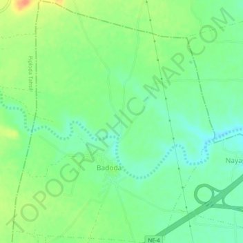
Name: Badoda topographic map, elevation, terrain.
Location: Badoda, Ratlam Tahsil, Ratlam District, Madhya Pradesh, India (23.51170 75.02940 23.54723 75.06165)
Average elevation: 487 m
Minimum elevation: 471 m
Maximum elevation: 511 m