
Shendra topographic map
Click on the map to display elevation.
About this map
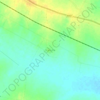
Name: Shendra topographic map, elevation, terrain.
Location: Shendra, Parbhani, Maharashtra, India (19.20410 76.80108 19.24410 76.84108)
Average elevation: 399 m
Minimum elevation: 388 m
Maximum elevation: 415 m