
Thank you for supporting this site ❤️
Make a donation
Make a donation
Corral City topographic map
Click on the map to display elevation.
Thank you for supporting this site ❤️
Make a donation
Make a donation
About this map
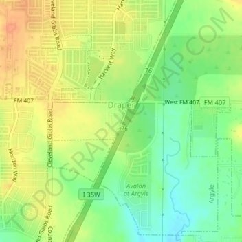
Name: Corral City topographic map, elevation, terrain.
Location: Corral City, Denton County, Texas, United States (33.09614 -97.23539 33.10042 -97.22510)
Average elevation: 213 m
Minimum elevation: 192 m
Maximum elevation: 231 m
Thank you for supporting this site ❤️
Make a donation
Make a donation