
Thank you for supporting this site ❤️
Make a donation
Make a donation
Jatimekar topographic map
Click on the map to display elevation.
Thank you for supporting this site ❤️
Make a donation
Make a donation
About this map
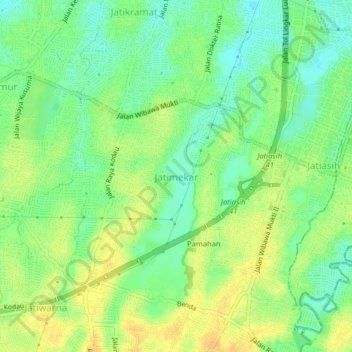
Name: Jatimekar topographic map, elevation, terrain.
Location: Jatimekar, Kota Bekasi, West Java, 17422, Indonesia (-6.31498 106.92684 -6.27498 106.96684)
Average elevation: 33 m
Minimum elevation: 18 m
Maximum elevation: 47 m
Thank you for supporting this site ❤️
Make a donation
Make a donation