
Darwa topographic map
Click on the map to display elevation.
About this map
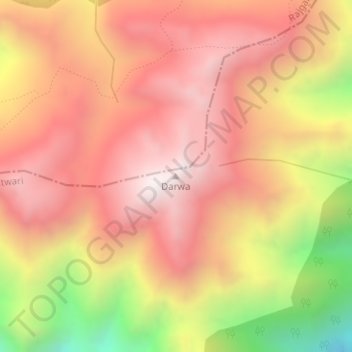
Name: Darwa topographic map, elevation, terrain.
Location: Darwa, Bhatwari, Uttarkashi District, Uttarakhand, India (30.89858 78.49909 30.89868 78.49919)
Average elevation: 3,726 m
Minimum elevation: 3,033 m
Maximum elevation: 4,131 m
Other topographic maps
Click on a map to view its topography, its elevation and its terrain.