
Goulet topographic map
Interactive map
Click on the map to display elevation.
About this map
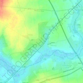
Name: Goulet topographic map, elevation, terrain.
Average elevation: 168 m
Minimum elevation: 148 m
Maximum elevation: 209 m
Other topographic maps
Click on a map to view its topography, its elevation and its terrain.
Sentilly
France > Normandie > Orne > Monts-sur-Orne
Sentilly, Monts-sur-Orne, Argentan, Orne, Normandie, France métropolitaine, 61150, France
Average elevation: 200 m