
Thank you for supporting this site ❤️
Make a donation
Make a donation
Greenville topographic map
Click on the map to display elevation.
Thank you for supporting this site ❤️
Make a donation
Make a donation
About this map
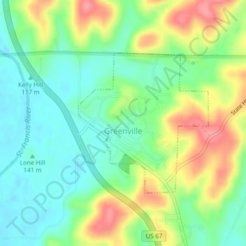
Name: Greenville topographic map, elevation, terrain.
Location: Greenville, Wayne County, Missouri, 63944, United States (37.12044 -90.45629 37.13583 -90.43837)
Average elevation: 143 m
Minimum elevation: 109 m
Maximum elevation: 197 m
Thank you for supporting this site ❤️
Make a donation
Make a donation