
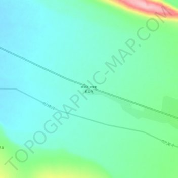
哈萨克买里村牧业队 topographic map
Interactive map
Click on the map to display elevation.
About this map
Name: 哈萨克买里村牧业队 topographic map, elevation, terrain.
Location: 哈萨克买里村牧业队, 坎苏镇, 新源县, 伊犁哈萨克自治州, 新疆维吾尔自治区, 中国 (43.36572 83.81675 43.40572 83.85675)
Average elevation: 1,196 m
Minimum elevation: 1,159 m
Maximum elevation: 1,327 m