
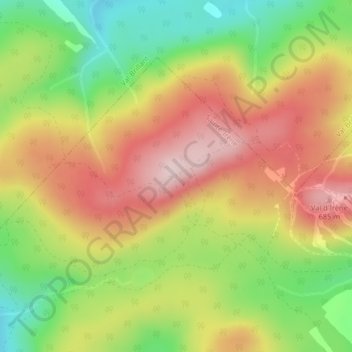
Val d'Irène Weather Radar topographic map
Interactive map
Click on the map to display elevation.
About this map
Name: Val d'Irène Weather Radar topographic map, elevation, terrain.
Average elevation: 554 m
Minimum elevation: 390 m
Maximum elevation: 709 m