
Montgomery topographic map
Interactive map
Click on the map to display elevation.
About this map
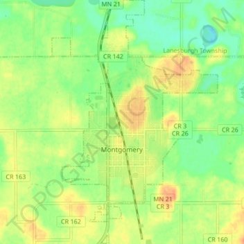
Name: Montgomery topographic map, elevation, terrain.
Location: Montgomery, Le Sueur County, Minnesota, 56069, United States (44.42024 -93.60068 44.46831 -93.55484)
Average elevation: 323 m
Minimum elevation: 304 m
Maximum elevation: 341 m
Other topographic maps
Click on a map to view its topography, its elevation and its terrain.
New Prague
United States > Minnesota > Le Sueur County > New Prague
New Prague, Le Sueur County, Minnesota, 56071, United States
Average elevation: 302 m