
Thank you for supporting this site ❤️
Make a donation
Make a donation
Bellur topographic map
Click on the map to display elevation.
Thank you for supporting this site ❤️
Make a donation
Make a donation
About this map
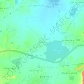
Name: Bellur topographic map, elevation, terrain.
Location: Bellur, Kolar taluk, Kolar District, Karnataka, 563133, India (13.11733 77.97185 13.15733 78.01185)
Average elevation: 874 m
Minimum elevation: 854 m
Maximum elevation: 947 m
Thank you for supporting this site ❤️
Make a donation
Make a donation