
Thank you for supporting this site ❤️
Make a donation
Make a donation
Rochelambert topographic map
Click on the map to display elevation.
Thank you for supporting this site ❤️
Make a donation
Make a donation
About this map
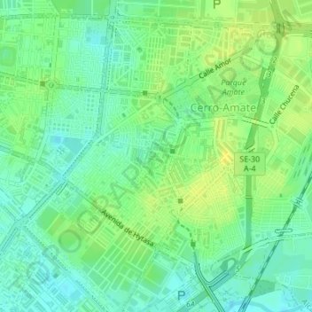
Name: Rochelambert topographic map, elevation, terrain.
Location: Rochelambert, Distrito Cerro-Amate, Sevilla, Andalucía, España (37.37137 -5.95720 37.37943 -5.95172)
Average elevation: 17 m
Minimum elevation: 8 m
Maximum elevation: 26 m
Thank you for supporting this site ❤️
Make a donation
Make a donation
Other topographic maps
Click on a map to view its topography, its elevation and its terrain.