
Hollen topographic map
Interactive map
Click on the map to display elevation.
About this map
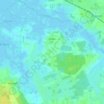
Name: Hollen topographic map, elevation, terrain.
Location: Hollen, Beverstedt, Landkreis Cuxhaven, Nedersaksen, Duitsland (53.39337 8.67047 53.44401 8.74977)
Average elevation: 4 m
Minimum elevation: -2 m
Maximum elevation: 18 m