
座間味村 topographic map
Interactive map
Click on the map to display elevation.
About this map
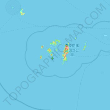
Name: 座間味村 topographic map, elevation, terrain.
Location: 座間味村, 島尻郡, Préfecture d'Okinawa, Japon (25.94388 127.00712 26.41825 127.36155)
Average elevation: 1 m
Minimum elevation: 0 m
Maximum elevation: 244 m