
Thank you for supporting this site ❤️
Make a donation
Make a donation
Amdapur topographic map
Click on the map to display elevation.
Thank you for supporting this site ❤️
Make a donation
Make a donation
About this map
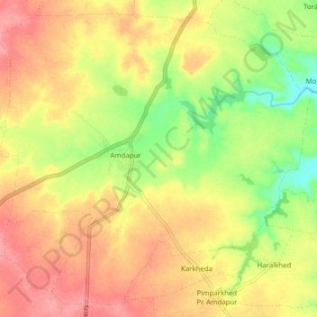
Name: Amdapur topographic map, elevation, terrain.
Location: Amdapur, Chikhli, Buldhana, Maharashtra, 444301, India (20.37094 76.40975 20.44448 76.49502)
Average elevation: 561 m
Minimum elevation: 508 m
Maximum elevation: 602 m
Thank you for supporting this site ❤️
Make a donation
Make a donation