
Braunsbedra topographic map
Interactive map
Click on the map to display elevation.
About this map
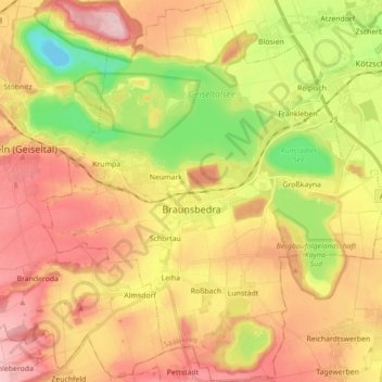
Name: Braunsbedra topographic map, elevation, terrain.
Location: Braunsbedra, Saalekreis, Alta Saxônia, Alemanha (51.23450 11.81714 51.34411 11.97594)
Average elevation: 128 m
Minimum elevation: 20 m
Maximum elevation: 221 m
Other topographic maps
Click on a map to view its topography, its elevation and its terrain.
Krumpa
Alemanha > Alta Saxônia > Saalekreis > Braunsbedra
Krumpa, Braunsbedra, Saalekreis, Alta Saxônia, Alemanha
Average elevation: 122 m