
Thank you for supporting this site ❤️
Make a donation
Make a donation
Tanta topographic map
Click on the map to display elevation.
Thank you for supporting this site ❤️
Make a donation
Make a donation
About this map
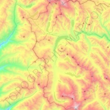
Name: Tanta topographic map, elevation, terrain.
Location: Tanta, Province of Yauyos, Lima, Peru (-12.26452 -76.08622 -11.98394 -75.91288)
Average elevation: 4,588 m
Minimum elevation: 3,481 m
Maximum elevation: 5,872 m
Thank you for supporting this site ❤️
Make a donation
Make a donation
Other topographic maps
Click on a map to view its topography, its elevation and its terrain.