
Thank you for supporting this site ❤️
Make a donation
Make a donation
Upper Pisang topographic map
Click on the map to display elevation.
Thank you for supporting this site ❤️
Make a donation
Make a donation
About this map
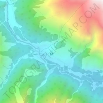
Name: Upper Pisang topographic map, elevation, terrain.
Location: Upper Pisang, Neshyang, मनाङ, Gandaki, Népal (28.59636 84.13303 28.63636 84.17303)
Average elevation: 3,653 m
Minimum elevation: 3,159 m
Maximum elevation: 4,969 m
Thank you for supporting this site ❤️
Make a donation
Make a donation
Other topographic maps
Click on a map to view its topography, its elevation and its terrain.