
Thank you for supporting this site ❤️
Make a donation
Make a donation
Muskara topographic map
Click on the map to display elevation.
Thank you for supporting this site ❤️
Make a donation
Make a donation
About this map
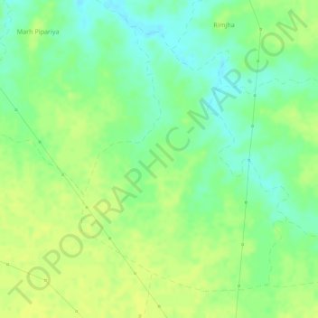
Name: Muskara topographic map, elevation, terrain.
Location: Muskara, Patan Tahsil, Jabalpur, Madhya Pradesh, India (23.23909 79.65352 23.26157 79.67336)
Average elevation: 370 m
Minimum elevation: 358 m
Maximum elevation: 376 m
Thank you for supporting this site ❤️
Make a donation
Make a donation
Other topographic maps
Click on a map to view its topography, its elevation and its terrain.