
Thank you for supporting this site ❤️
Make a donation
Make a donation
dharkot topographic map
Click on the map to display elevation.
Thank you for supporting this site ❤️
Make a donation
Make a donation
About this map
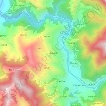
Name: dharkot topographic map, elevation, terrain.
Location: dharkot, Dhoomakot, Pauri Garhwal, Uttarakhand, India (29.80309 78.87115 29.84309 78.91115)
Average elevation: 1,207 m
Minimum elevation: 849 m
Maximum elevation: 1,675 m
Thank you for supporting this site ❤️
Make a donation
Make a donation