
Inca topographic map
Interactive map
Click on the map to display elevation.
About this map
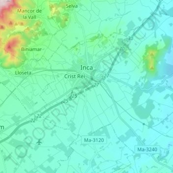
Name: Inca topographic map, elevation, terrain.
Location: Inca, Raiguer, Balearische Inseln, Spanien (39.67071 2.87805 39.75082 2.99970)
Average elevation: 125 m
Minimum elevation: 50 m
Maximum elevation: 626 m