
Kalenberg topographic map
Interactive map
Click on the map to display elevation.
About this map
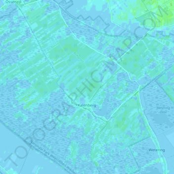
Name: Kalenberg topographic map, elevation, terrain.
Location: Kalenberg, Steenwijkerland, Overijssel, Nederland (52.75774 5.91732 52.80730 6.00402)
Average elevation: 1 m
Minimum elevation: -4 m
Maximum elevation: 7 m