
Thank you for supporting this site ❤️
Make a donation
Make a donation
Comanche topographic map
Click on the map to display elevation.
Thank you for supporting this site ❤️
Make a donation
Make a donation
About this map
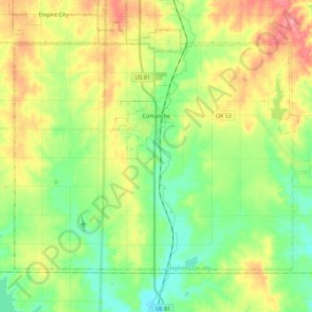
Name: Comanche topographic map, elevation, terrain.
Location: Comanche, Stephens County, Oklahoma, 73529, United States (34.29051 -98.05140 34.40612 -97.85993)
Average elevation: 315 m
Minimum elevation: 280 m
Maximum elevation: 365 m
Thank you for supporting this site ❤️
Make a donation
Make a donation
Other topographic maps
Click on a map to view its topography, its elevation and its terrain.