
Thank you for supporting this site ❤️
Make a donation
Make a donation
Vanoss topographic map
Click on the map to display elevation.
Thank you for supporting this site ❤️
Make a donation
Make a donation
About this map
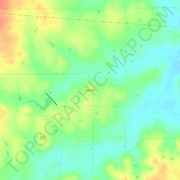
Name: Vanoss topographic map, elevation, terrain.
Location: Vanoss, Pontotoc County, Oklahoma, United States (34.74397 -96.89196 34.78397 -96.85196)
Average elevation: 314 m
Minimum elevation: 294 m
Maximum elevation: 343 m
Thank you for supporting this site ❤️
Make a donation
Make a donation
Other topographic maps
Click on a map to view its topography, its elevation and its terrain.