
Rosedale topographic map
Click on the map to display elevation.
About this map
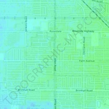
Name: Rosedale topographic map, elevation, terrain.
Location: Rosedale, Kern County, California, United States (35.37623 -119.14581 35.37924 -119.14554)
Average elevation: 113 m
Minimum elevation: 109 m
Maximum elevation: 116 m
Other topographic maps
Click on a map to view its topography, its elevation and its terrain.