
Thank you for supporting this site ❤️
Make a donation
Make a donation
Stark topographic map
Click on the map to display elevation.
Thank you for supporting this site ❤️
Make a donation
Make a donation
About this map
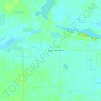
Name: Stark topographic map, elevation, terrain.
Location: Stark, Brown County, Minnesota, United States (44.21941 -94.66970 44.25941 -94.62970)
Average elevation: 307 m
Minimum elevation: 301 m
Maximum elevation: 319 m
Thank you for supporting this site ❤️
Make a donation
Make a donation