
Runda topographic map
Interactive map
Click on the map to display elevation.
About this map
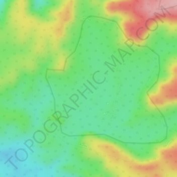
Name: Runda topographic map, elevation, terrain.
Location: Runda, Kusmi Tahsil, Sidhi District, Madhya Pradesh, India (23.86600 82.00828 23.88824 82.03237)
Average elevation: 595 m
Minimum elevation: 523 m
Maximum elevation: 696 m