
Brooks topographic map
Interactive map
Click on the map to display elevation.
About this map
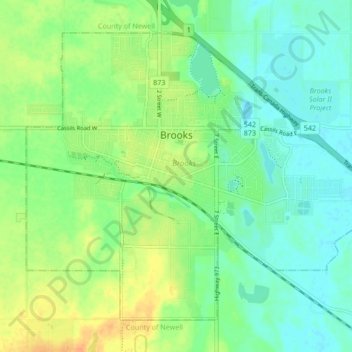
Name: Brooks topographic map, elevation, terrain.
Location: Brooks, City of Brooks, Alberta, Canada (50.54277 -111.92915 50.58663 -111.84459)
Average elevation: 758 m
Minimum elevation: 745 m
Maximum elevation: 777 m