
Île Ogurchinskiy topographic map
Interactive map
Click on the map to display elevation.
About this map
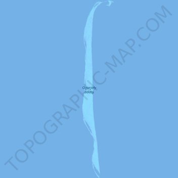
Name: Île Ogurchinskiy topographic map, elevation, terrain.
Location: Île Ogurchinskiy, Balkan, Turkménistan (38.79381 53.03250 39.10773 53.10467)
Average elevation: -29 m
Minimum elevation: -29 m
Maximum elevation: -18 m
Other topographic maps
Click on a map to view its topography, its elevation and its terrain.
Esenguly etraby
Esenguly etraby, Balkan, 800245, Turkménistan
Average elevation: -2 m