
Jagdispur topographic map
Interactive map
Click on the map to display elevation.
About this map
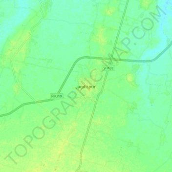
Name: Jagdispur topographic map, elevation, terrain.
Location: Jagdispur, Jagdishpur, Bhojpur District, Bihar, 802158, India (25.42683 84.37799 25.50683 84.45799)
Average elevation: 68 m
Minimum elevation: 60 m
Maximum elevation: 75 m