
Saint-Geniez-de-Bertrand topographic map
Interactive map
Click on the map to display elevation.
About this map
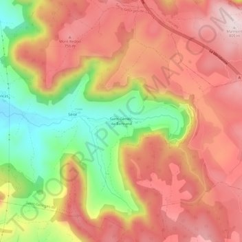
Name: Saint-Geniez-de-Bertrand topographic map, elevation, terrain.
Average elevation: 636 m
Minimum elevation: 394 m
Maximum elevation: 805 m