
Amruthalur topographic map
Interactive map
Click on the map to display elevation.
About this map
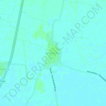
Name: Amruthalur topographic map, elevation, terrain.
Location: Amruthalur, Guntur, Andhra Pradesh, India (16.09829 80.64038 16.13829 80.68038)
Average elevation: 7 m
Minimum elevation: 5 m
Maximum elevation: 12 m