
Madison topographic map
Interactive map
Click on the map to display elevation.
About this map
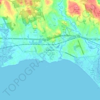
Name: Madison topographic map, elevation, terrain.
Location: Madison, New Haven County, Connecticut, 06443, USA (41.23943 -72.63832 41.31943 -72.55832)
Average elevation: 13 m
Minimum elevation: -2 m
Maximum elevation: 71 m