
Thamballapalle topographic map
Interactive map
Click on the map to display elevation.
About this map
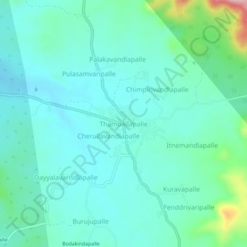
Name: Thamballapalle topographic map, elevation, terrain.
Location: Thamballapalle, Chittoor, Andhra Pradesh, 517418, India (13.80287 78.42771 13.84287 78.46771)
Average elevation: 567 m
Minimum elevation: 522 m
Maximum elevation: 760 m