
河南町 topographic map
Interactive map
Click on the map to display elevation.
About this map
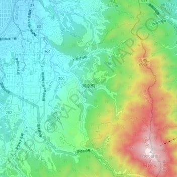
Name: 河南町 topographic map, elevation, terrain.
Location: 河南町, 南河内郡, 大阪府, 日本 (34.44633 135.61244 34.51488 135.68481)
Average elevation: 297 m
Minimum elevation: 37 m
Maximum elevation: 952 m
Other topographic maps
Click on a map to view its topography, its elevation and its terrain.