
Vernou topographic map
Interactive map
Click on the map to display elevation.
About this map
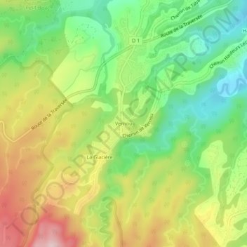
Name: Vernou topographic map, elevation, terrain.
Location: Vernou, Petit-Bourg, Basse-Terre, Guadeloupe, 97170, France (16.16129 -61.67604 16.20129 -61.63604)
Average elevation: 174 m
Minimum elevation: 45 m
Maximum elevation: 339 m