
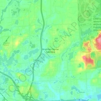
Brighton Township topographic map
Interactive map
Click on the map to display elevation.
About this map
Name: Brighton Township topographic map, elevation, terrain.
Location: Brighton Township, Livingston County, Michigan, 48114, USA (42.52222 -83.77056 42.60222 -83.69056)
Average elevation: 295 m
Minimum elevation: 267 m
Maximum elevation: 371 m