
Vengambur topographic map
Interactive map
Click on the map to display elevation.
About this map
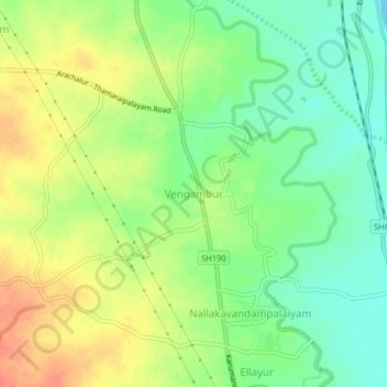
Name: Vengambur topographic map, elevation, terrain.
Location: Vengambur, Kodumudi, Erode District, Tamil Nadu, 638152, India (11.08147 77.84001 11.12147 77.88001)
Average elevation: 150 m
Minimum elevation: 125 m
Maximum elevation: 179 m