
Arlesheim topographic map
Interactive map
Click on the map to display elevation.
About this map
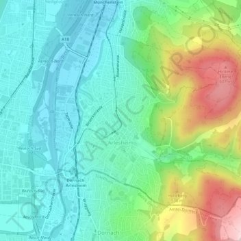
Name: Arlesheim topographic map, elevation, terrain.
Location: Arlesheim, Bezirk Arlesheim, Basel-Landschaft, 4144, Schweiz (47.48273 7.60642 47.50961 7.65593)
Average elevation: 379 m
Minimum elevation: 270 m
Maximum elevation: 655 m