
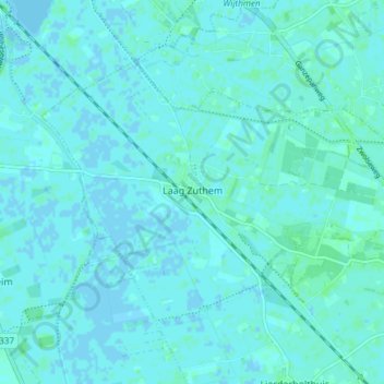
Laag Zuthem topographic map
Interactive map
Click on the map to display elevation.
About this map
Name: Laag Zuthem topographic map, elevation, terrain.
Location: Laag Zuthem, Raalte, Overijssel, Nederland (52.44307 6.14415 52.47439 6.21875)
Average elevation: 2 m
Minimum elevation: -3 m
Maximum elevation: 7 m
Other topographic maps
Click on a map to view its topography, its elevation and its terrain.
Laag Zuthem
Nederland > Overijssel > Laag Zuthem
Laag Zuthem, Overijssel, Nederland, 8055, Nederland
Average elevation: 2 m