
Assana topographic map
Interactive map
Click on the map to display elevation.
About this map
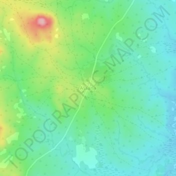
Name: Assana topographic map, elevation, terrain.
Location: Assana, Ouham-Pendé, Central African Republic (7.18538 15.29777 7.22538 15.33777)
Average elevation: 921 m
Minimum elevation: 871 m
Maximum elevation: 1,043 m