
Khirsara Nana topographic map
Interactive map
Click on the map to display elevation.
About this map
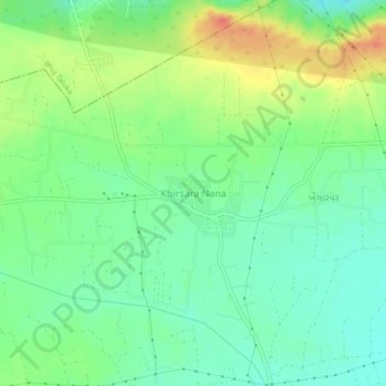
Name: Khirsara Nana topographic map, elevation, terrain.
Location: Khirsara Nana, Anjar Taluka, Kachchh, Gujarat, 370115, India (23.29723 70.04672 23.33723 70.08672)
Average elevation: 61 m
Minimum elevation: 42 m
Maximum elevation: 91 m