
Thank you for supporting this site ❤️
Make a donation
Make a donation
Oppenrod topographic map
Click on the map to display elevation.
Thank you for supporting this site ❤️
Make a donation
Make a donation
Oppenrod
Die Statistisch-topographisch-historische Beschreibung des Großherzogthums Hessen berichtet 1830 über das Busecker Tal.
Thank you for supporting this site ❤️
Make a donation
Make a donation
About this map
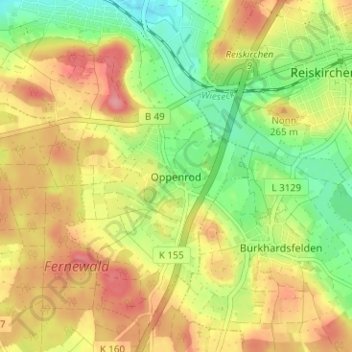
Name: Oppenrod topographic map, elevation, terrain.
Location: Oppenrod, Buseck, Landkreis Gießen, Hessen, 35418, Deutschland (50.56494 8.78168 50.60494 8.82168)
Average elevation: 236 m
Minimum elevation: 191 m
Maximum elevation: 279 m
Thank you for supporting this site ❤️
Make a donation
Make a donation