
Padiyathalawa topographic map
Interactive map
Click on the map to display elevation.
About this map
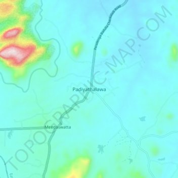
Name: Padiyathalawa topographic map, elevation, terrain.
Location: Padiyathalawa, Ampara District, Eastern Province, Sri Lanka (7.36020 81.20246 7.44020 81.28246)
Average elevation: 152 m
Minimum elevation: 80 m
Maximum elevation: 681 m