
Lac Mitis topographic map
Interactive map
Click on the map to display elevation.
About this map
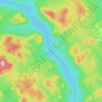
Name: Lac Mitis topographic map, elevation, terrain.
Average elevation: 400 m
Minimum elevation: 258 m
Maximum elevation: 697 m
Other topographic maps
Click on a map to view its topography, its elevation and its terrain.
Lac Saint-Pierre
Canada > Québec > La Mitis > Lac-à-la-Croix
Lac Saint-Pierre, Lac-à-la-Croix, La Mitis, Bas-Saint-Laurent, Québec, Canada
Average elevation: 487 m