
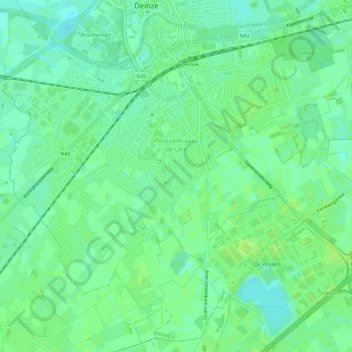
Petegem-aan-de-Leie topographic map
Interactive map
Click on the map to display elevation.
About this map
Name: Petegem-aan-de-Leie topographic map, elevation, terrain.
Average elevation: 10 m
Minimum elevation: 3 m
Maximum elevation: 15 m
Petegem-aan-de-Leie is located in Zandig Vlaanderen [nl] and in the valley of the Leie (Lys), at an altitude of 10-13 meters. Petegem is highly urbanized and the streams that lead to the Lys are almost all flooded.