
Saint Antonin topographic map
Interactive map
Click on the map to display elevation.
About this map
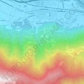
Name: Saint Antonin topographic map, elevation, terrain.
Location: Saint Antonin, Turin, Piémont, Italie (45.07534 7.24573 45.11270 7.28413)
Average elevation: 798 m
Minimum elevation: 372 m
Maximum elevation: 1,628 m
Other topographic maps
Click on a map to view its topography, its elevation and its terrain.