
Lankelapalem topographic map
Interactive map
Click on the map to display elevation.
About this map
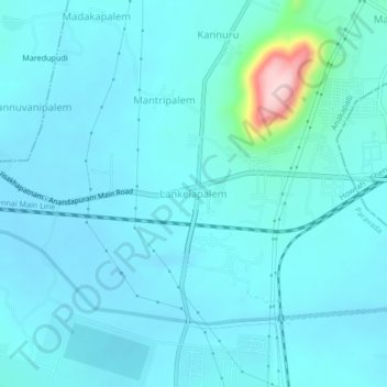
Name: Lankelapalem topographic map, elevation, terrain.
Average elevation: 57 m
Minimum elevation: 30 m
Maximum elevation: 288 m
Other topographic maps
Click on a map to view its topography, its elevation and its terrain.
Kannuru
India > Andhra Pradesh > Paravada
Kannuru, Paravada, Anakapalli, Andhra Pradesh, 531019, India
Average elevation: 71 m