
Haha topographic map
Interactive map
Click on the map to display elevation.
About this map
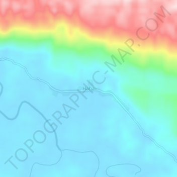
Name: Haha topographic map, elevation, terrain.
Location: Haha, Sorong Selatan, Papouasie Occidentale, Indonésie (-1.37155 131.91829 -1.33155 131.95829)
Average elevation: 77 m
Minimum elevation: 1 m
Maximum elevation: 301 m