
Thank you for supporting this site ❤️
Make a donation
Make a donation
Slater topographic map
Click on the map to display elevation.
Thank you for supporting this site ❤️
Make a donation
Make a donation
About this map
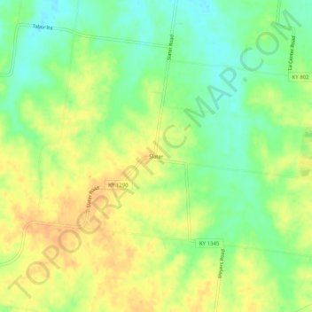
Name: Slater topographic map, elevation, terrain.
Location: Slater, Ballard County, Kentucky, United States (36.99644 -89.00923 37.03644 -88.96923)
Average elevation: 135 m
Minimum elevation: 115 m
Maximum elevation: 152 m
Thank you for supporting this site ❤️
Make a donation
Make a donation
Other topographic maps
Click on a map to view its topography, its elevation and its terrain.